Reviews
0 %
User Score
Rate This
Descriptions:
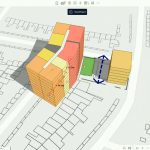
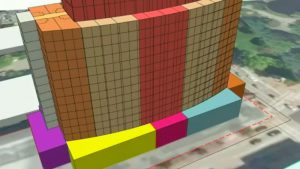
The most important question is often the one we overlook: Where? This session explores how combining various layers of data at wide ranging geospatial scale enables analysis, simulation, and collaborative understanding. Using real world projects and examples, real-world context delivered in GIS enables better AEC workflows.
Join us to see how answering Where with data transforms how we imagine, evaluate, and deliver the built environment.